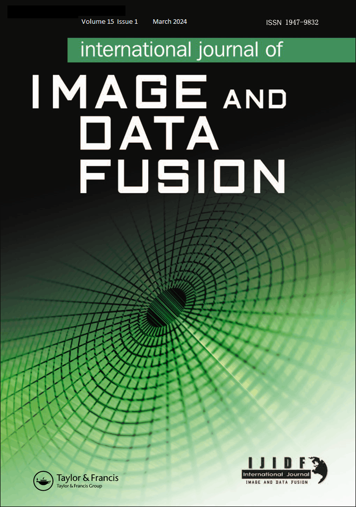

期刊简介

| 刊名: | 《影像与数据融合国际期刊》,简称国际期刊 |
| 英文: | International Journal of Image and Data Fusion |
| 创刊时间: | 2010年1月 |
| 主办: | 由中国测绘科学研究院主办、国际著名的Taylor&Francis(泰勒·弗朗西斯)出版集团出版,向全世界发行的全英文国际学术期刊。 |
| 内容: | 该刊以出版原创性研究论文为主,征稿范围包括:影像与数据融合的自动纠正/几何方面;像素级、特征级和决策级融合的算法与方法;多源影像分类和信息提取;航天、航空和地面传感器数据的整合;用于变化检测的多时相... |
| 期刊网站: | https://www.tandfonline.com/tidf |
| 投稿系统: | Submission Portal |
| 编辑部邮箱: | ijidf@casm.ac.cn |

论文引用推荐
Karmakar, D., Sarkar, R., & Datta, M. (2021). Colour band fusion and region enhancement of spectral image using multivariate histogram. International Journal of Image and Data Fusion, 12(1), 64–82.
https://doi.org/10.1080/19479832.2020.1870578Khosravi, I., Razoumny, Y., Hatami Afkoueieh, J., & Alavipanah, S. K. (2020). An ensemble method based on rotation calibrated least squares support vector machine for multi-source data classification. International Journal of Image and Data Fusion, 12(1), 48–63.
https://doi.org/10.1080/19479832.2020.1821101Xu, Z., & Rao, M. (2020). Multiscale information fusion-based deep learning framework for campus vehicle detection. International Journal of Image and Data Fusion, 12(1), 83–97.
https://doi.org/10.1080/19479832.2020.1845245Rashwan, S., Youssef, A., & Youssef, B. A. B. (2020). A multi-focus image fusion method based on watershed segmentation and IHS image fusion. International Journal of Image and Data Fusion, 12(2), 176–184.
https://doi.org/10.1080/19479832.2020.1791262Hallabia, H., Hamam, H., & Ben Hamida, A. (2020). A context-driven pansharpening method using superpixel based texture analysis. International Journal of Image and Data Fusion, 12(1), 1–22.
https://doi.org/10.1080/19479832.2020.1845244Fan, Q., Hou, F., & Shi, F. (2020). A fusion method for infrared and visible images based on iterative guided filtering and two channel adaptive pulse coupled neural network. International Journal of Image and Data Fusion, 12(1), 23–47.
https://doi.org/10.1080/19479832.2020.1814877Beygi, S., Talovina, I. V., Tadayon, M., & Pour, A. B. (2020). Alteration and structural features mapping in Kacho-Mesqal zone, Central Iran using ASTER remote sensing data for porphyry copper exploration. International Journal of Image and Data Fusion, 12(2), 155–175.
https://doi.org/10.1080/19479832.2020.1838628Khelifi, L., & Mignotte, M. (2021). A new fusion framework for motion segmentation in dynamic scenes. International Journal of Image and Data Fusion, 12(2), 99–121.
https://doi.org/10.1080/19479832.2021.1900408Khurana, A., & Nagla, K. S. (2020). Improved auto-extrinsic calibration between stereo vision camera and laser range finder. International Journal of Image and Data Fusion, 12(2), 122–154.
https://doi.org/10.1080/19479832.2020.1727574Gogineni, R., Chaturvedi, A., & B S, D. S. (2020). A variational pan-sharpening algorithm to enhance the spectral and spatial details. International Journal of Image and Data Fusion, 12(3), 242–264.
https://doi.org/10.1080/19479832.2020.1838629Bai, Y. B., Kealy, A., & Holden, L. (2020). Evaluation and correction of smartphone-based fine time range measurements. International Journal of Image and Data Fusion, 12(3), 185–202.
https://doi.org/10.1080/19479832.2020.1853614Wang, J., Wang, M., Yang, D., Liu, F., & Wen, Z. (2021). UWB positioning algorithm and accuracy evaluation for different indoor scenes. International Journal of Image and Data Fusion, 12(3), 203–225.
https://doi.org/10.1080/19479832.2020.1864788Ning, Y., Sang, W., Yao, G., Bi, J., & Wang, S. (2020). GNSS/MIMU tightly coupled integrated with improved multi-state ZUPT/DZUPT constraints for a Land vehicle in GNSS-denied enviroments. International Journal of Image and Data Fusion, 12(3), 226–241.
https://doi.org/10.1080/19479832.2020.1829718Zheng, X., Wang, F., Jiang, W., Zheng, X., Wu, Z., Qiao, X., … Chen, Q. (2021). Construction and spatio-temporal derivation of hazardous chemical leakage disaster chain. International Journal of Image and Data Fusion, 12(4), 335–348.
https://doi.org/10.1080/19479832.2021.1958929Liu, M., Liu, J., Xu, S., Zhou, T., Ma, Y., Zhang, F., & Konečný, M. (2021). Landslide susceptibility mapping with the fusion of multi-feature SVM model based FCM sampling strategy: A case study from Shaanxi Province. International Journal of Image and Data Fusion, 12(4), 349–366.
https://doi.org/10.1080/19479832.2021.1961316Ren, F., Li, Y., Zheng, Z., Yan, H., & Du, Q. (2021). Online emergency mapping based on disaster scenario and data integration. International Journal of Image and Data Fusion, 12(4), 282–300.
https://doi.org/10.1080/19479832.2021.1963329Luo, L., Zhu, J., Fu, L., Pirasteh, S., Li, W., Han, X., & Guo, Y. (2021). A suitability visualisation method for flood fusion 3D scene guided by disaster information. International Journal of Image and Data Fusion, 12(4), 301–318.
https://doi.org/10.1080/19479832.2021.1961315Luo, A., Liu, J., Li, P., Wang, Y., & Xu, S. (2021). Chinese address standardisation of POIs based on GRU and spatial correlation and applied in multi-source emergency events fusion. International Journal of Image and Data Fusion, 12(4), 319–334.
https://doi.org/10.1080/19479832.2021.1961314Liu, J., Konečný, M., Du, Q., Xu, S., Ren, F., & Che, X. (2021). The latest progress of data fusion for integrated disaster reduction intelligence service. International Journal of Image and Data Fusion, 12(4), 265–267.
https://doi.org/10.1080/19479832.2021.1970931Liu, X., Wang, J., Zhen, J., Han, H., & Hancock, C. (2021). GNSS-aided accelerometer frequency domain integration approach to monitor structural dynamic displacements. International Journal of Image and Data Fusion, 12(4), 268–281.
https://doi.org/10.1080/19479832.2021.1967468